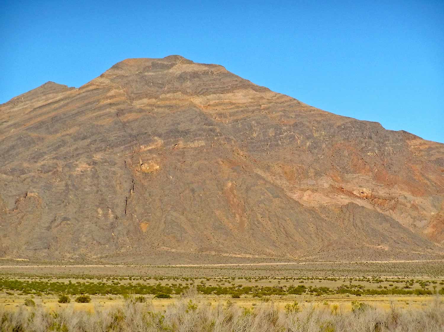
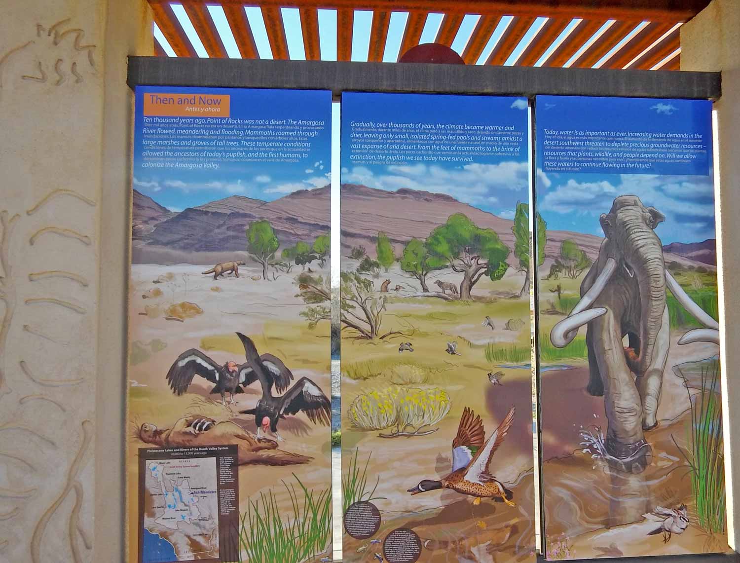
Tens of thousands of years ago. Way way back in the BCE. High atop a mountain like, say, Mount Charleston near current day Las Vegas, snow falls.
Flash forward today. Those same fossils-old snow molecules glisten in the meadow before you…
Our drive through the dry Mojave desert led into Ash Meadows National Wildlife Refuge, home of fossil water. We stopped for the entrance signage:


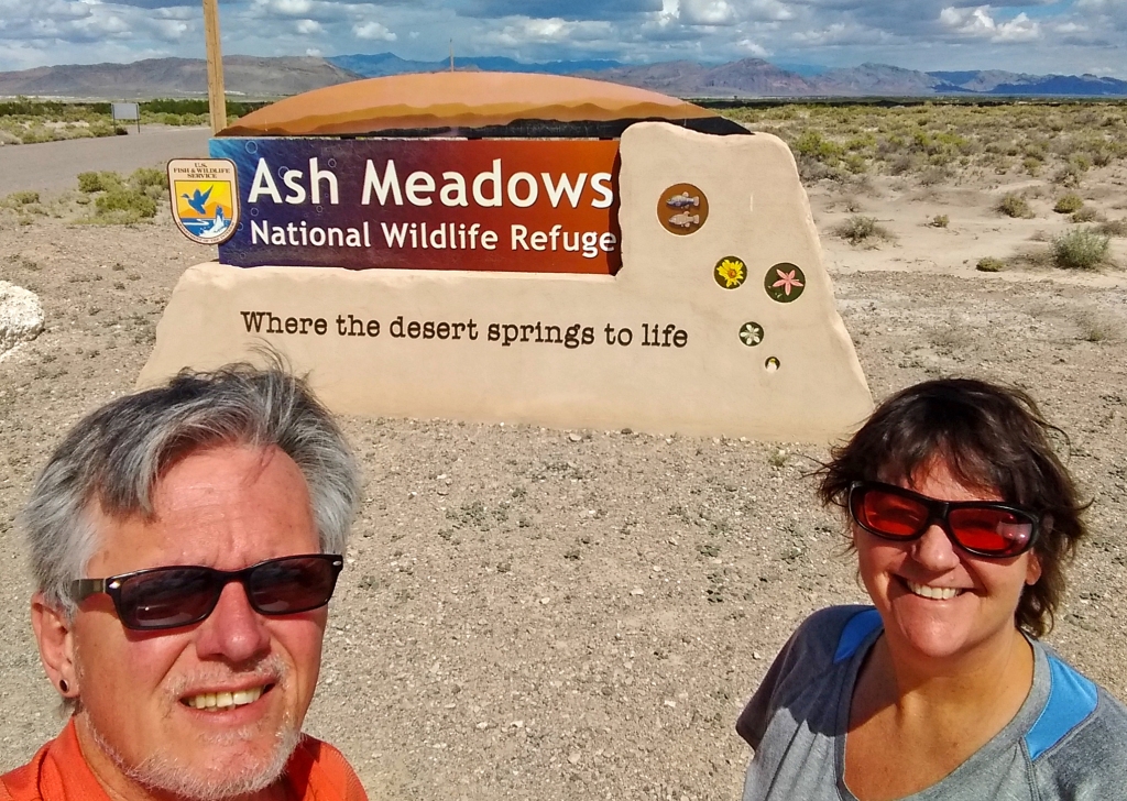
From the Funeral Mountains of Death Valley we came. Then we went #where-the-desert-springs-to-life.
Beyond the Boardwalk, down by the springs…
This refuge offers a modern Visitor’s Center with shaded parking. A lot of displays inform, then it’s out the back door onto the main feature trail.

At first it seemed it would be a BORED walk. But not for long, as the true colors of this largest remaining desert oasis shone through.
And the signage mentions tarantulas. Who wouldn’t become wary?

American coot. 
Do two coots make cooties? 
Hoverfly 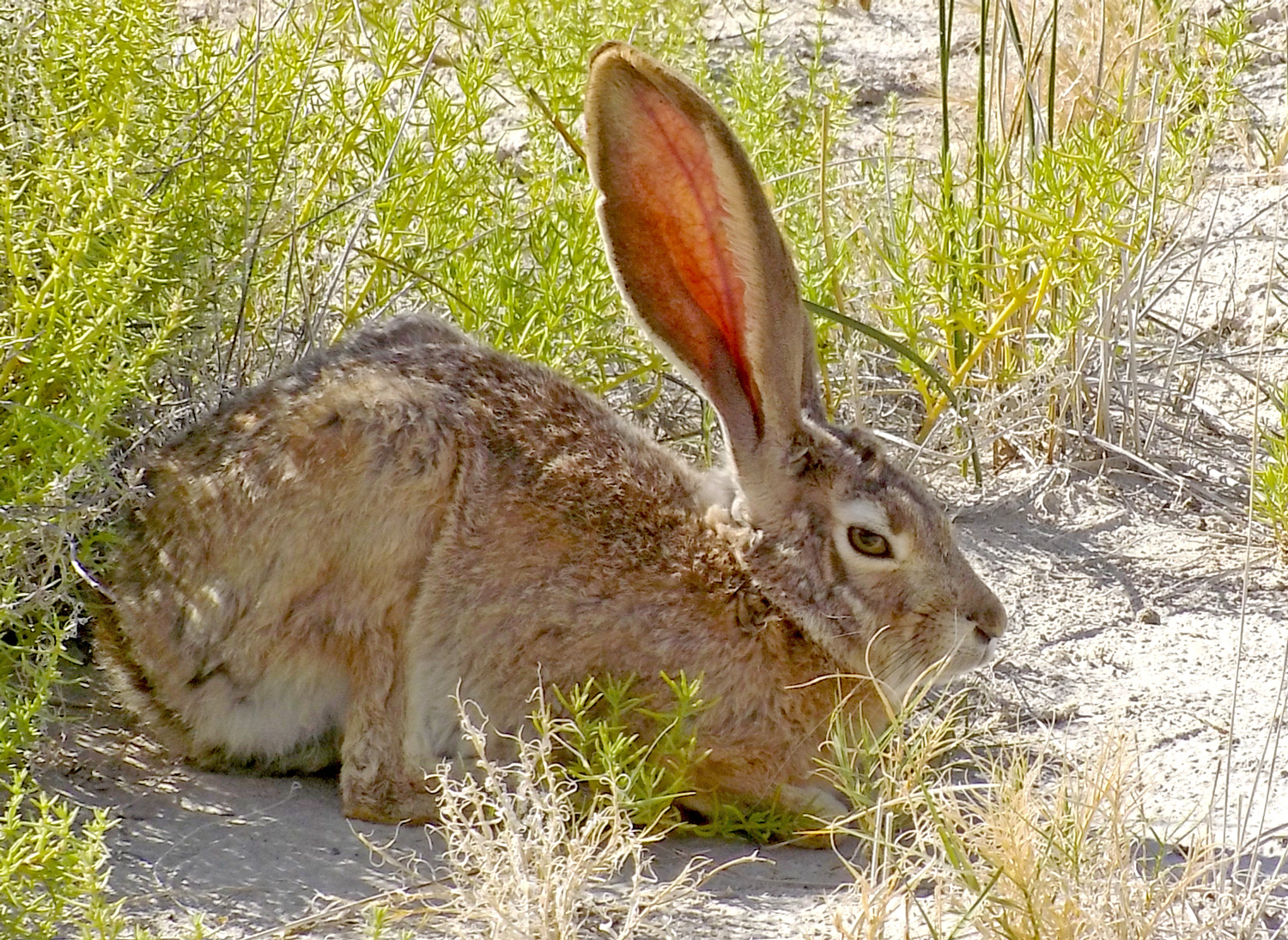
Black tailed jackrabbit. 
40+ years ago, developers sought to turn these animals’ homes into motels, malls and houses 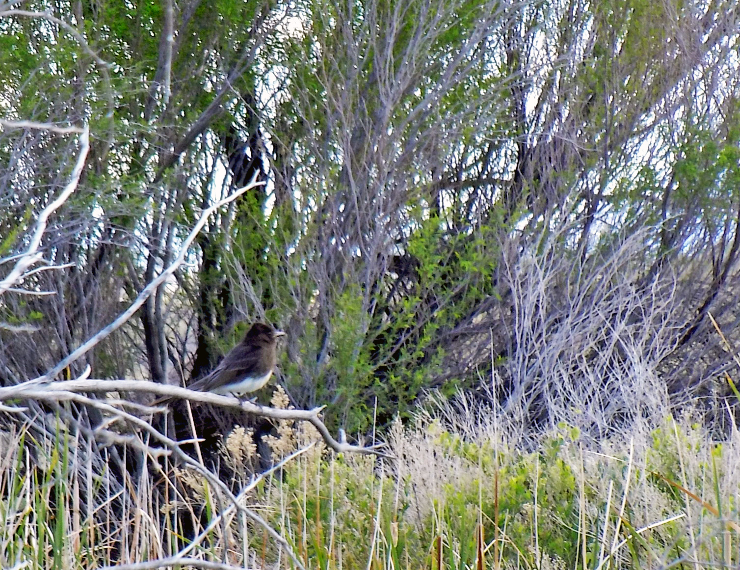
Hot spot for bird watchers. Phainopepla? 
Don’t call this a preserve. It’s an area in recovery. 
Red swamp crayfish. 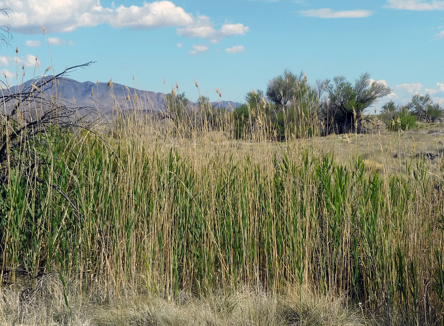
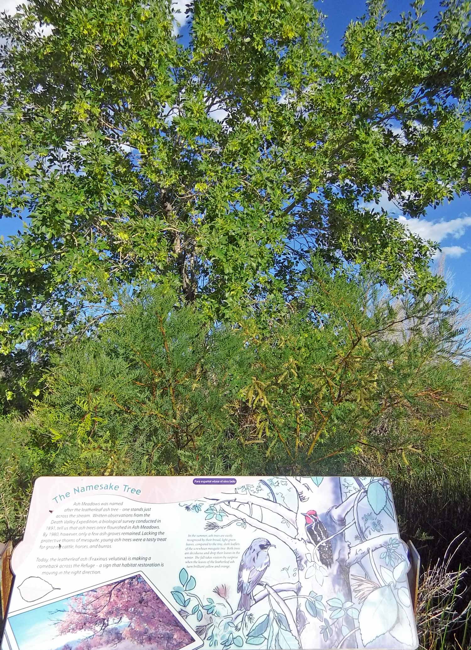
Reeds and grasses rebounded in the 35 years since refuge designation 

This spring produces 2,800 gallons of water a minute, is approximately 15 feet deep and the water stays a consistent 87° 
Natural flows restored after years of diversion that threatened to drain the aquifer 
No signs of the rare pupfish that feed on this algae. 
Yerba Mansa will turn red in the fall.
We spied some old coots, a jackrabbit and crawdaddies. Still on bucket list: tarantula in the wild.
Short hike on to the Longstreet
The namesake of the casino and RVoyager’s campsite, Jack Longstreet led a legendary wild west life. This colorful character cut a few too many notches in his gun and had to become scarce.
Longstreet built a cabin over a cave near a spring that would eventually take on his name and describe his legacy.

We love the carvings next to all the signs in this refuge. 
The ranger assured us safe distance would suffice. 
Adventure traveler Bill Sims decided not to move. 
Prime real estate…if one room is an ‘open concept’ 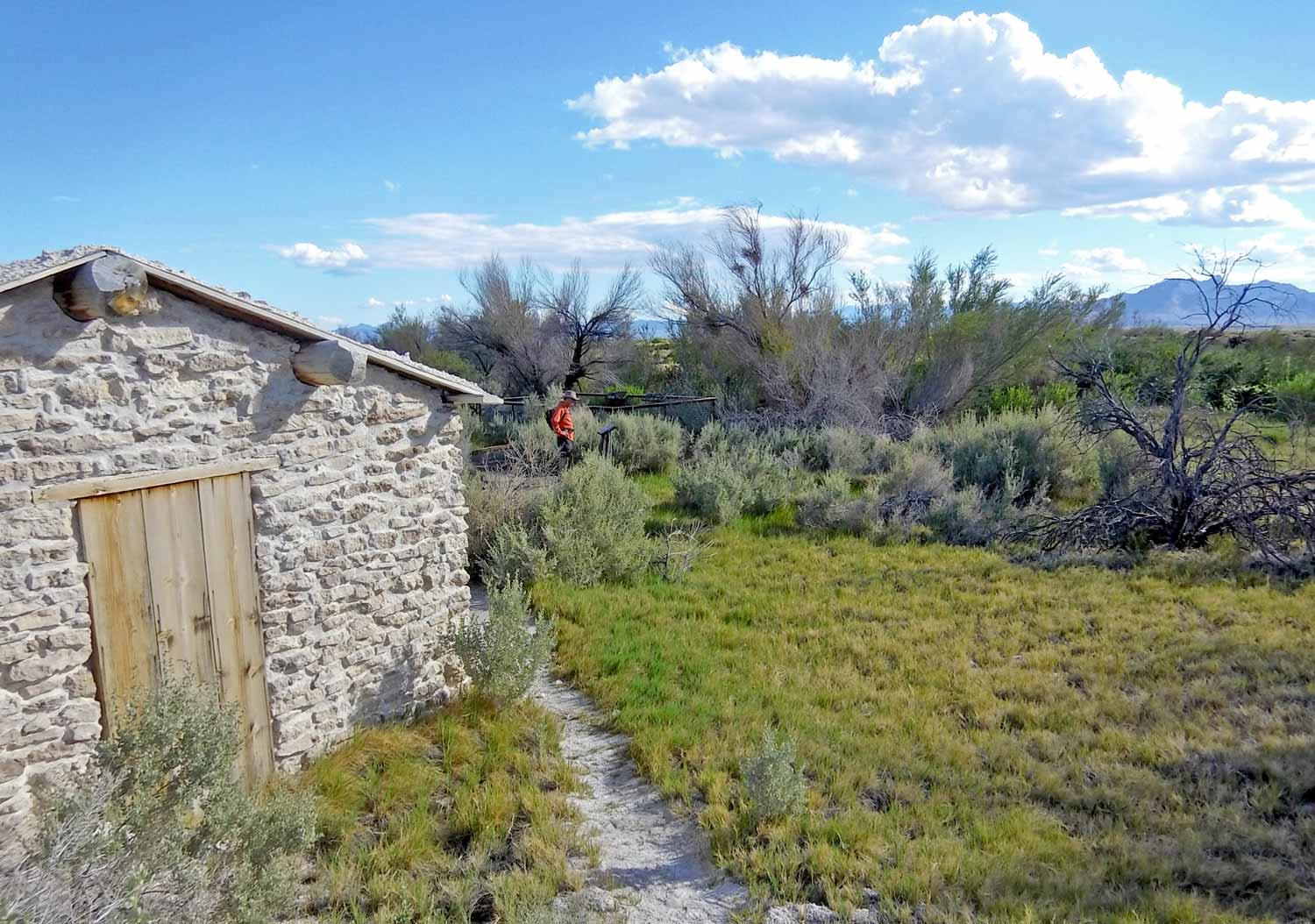
Hard to believe that a flash flood wiped out the cabin 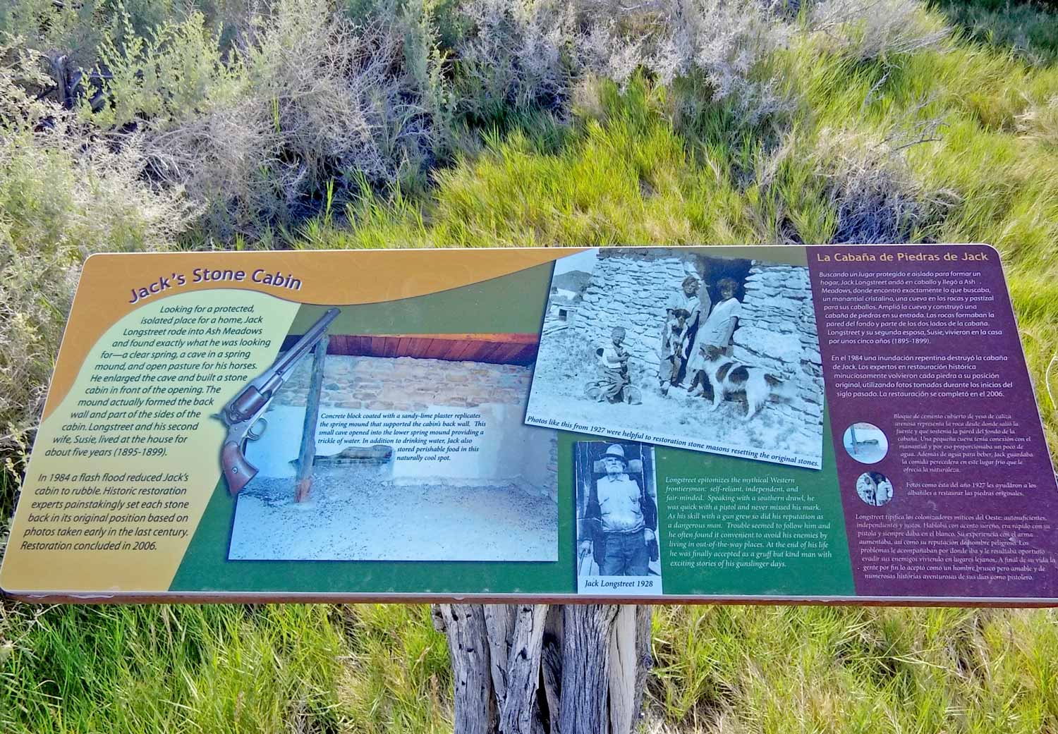
Stone by stone, preservationists rebuilt the cabin. 
For life, water. 
Exactly how much water, science says here 
Longstreet Spring overlook 
Beneath the back yard, a cave
Devils Hole: Not the river Styx but possible highway to hell
About 500 feet of water fill the cavern entrance that leads to unexplored and unknown depths. Seems like a great place to stick the Devil moniker.
Another short hike leads to this nondescript slit in the canyon wall. Gadgets grab data from its sides. Big brother’s watching and the area remains fenced off to protect us from the Devil himself?
Of course not. Here fencing protects the protagonist of the conservation story — the devils hole pupfish. As humans tapped the aquifer lower, the breeding zone rose above water level.
The Supreme Court intervened to save these rare and endangered fish. And some technicalities helped annex this strange feature and its creatures into the Death Valley National Park system.

Devil done gone out west and swallowed him some apostrophes 
The murky depths lead God only knows where. 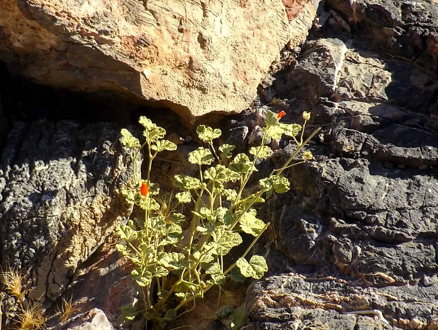
Oh tenacious life 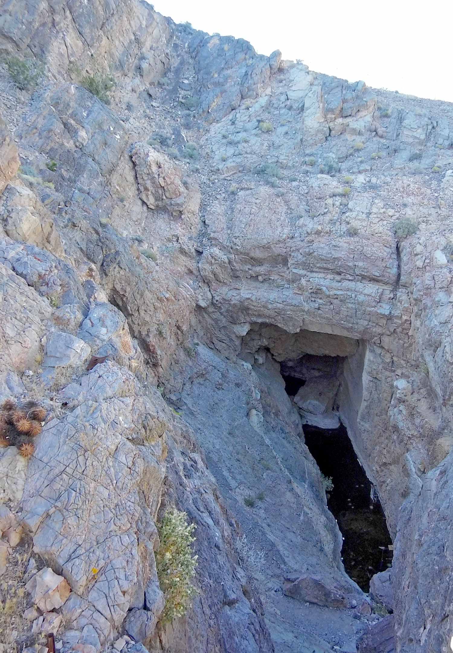
Like a hell-icopter we hover over 
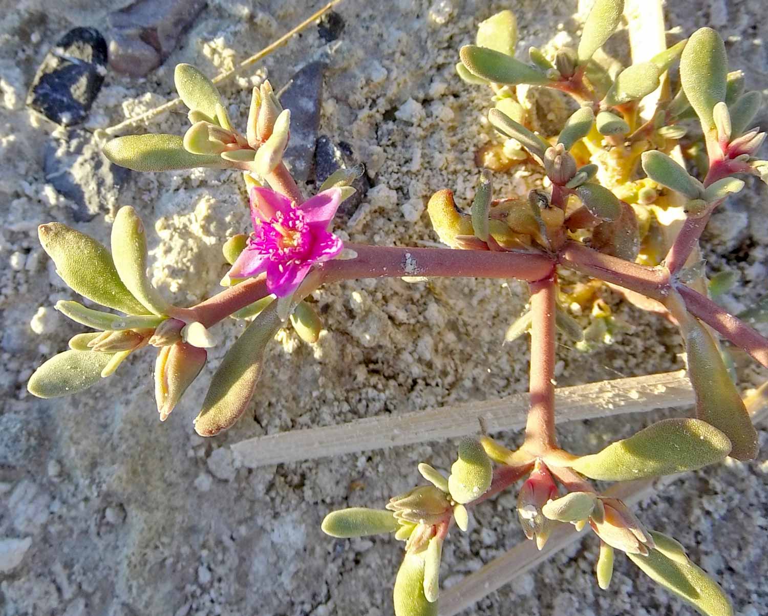
Ash meadows gumplant or some kin to the creosote bush. Or what? 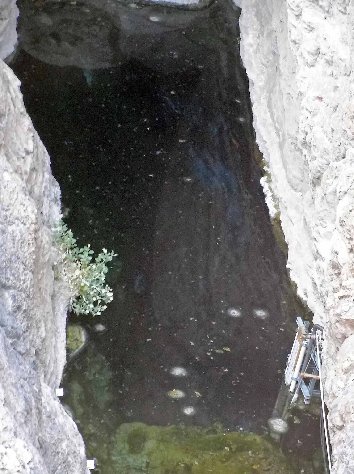
Sensors detect seismo readings and monitor the pupfish environs. 
Last light in this canyon catches cactus. 
Voting to rename this TARDIS since it’s small on the outside and larger inside. 
What if this suddenly splashed up at you?
Imagine this dark hole turning Tsunami for no reason at all. You might find it hard to believe the cause is an earthquake on thousands of miles away. Who knew?
What’s the Point of these rocks?
For the most part signage teaches us and identifies what we encounter, like this trailhead sign. But the next sign — a cultural sign — left us asking, What rock features?


The Point of Rocks Springs hike offers exceptional views as the sun droops lower to give the landscapes that magic glow.
Last stop: Reservoir
Hard to believe that humans would mess with mother nature. And yet, here we found damming evidence. But no memory of when this happened.
We do know that at some point prior to 1984, developers planned to convert these springs from mere oasis home of up to 30 endemic and endangered species… into a city. Or something like that. Whatever.


Seeing the salt bubble up from footprints it became clear to us that only special kinds of life will thrive here. So again we want to thank the special kinds of people — conservationists — who fight the good fight to keep places like this one out of the clutches of condo construction.

Great documentation of your travels!
LikeLike